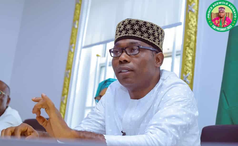
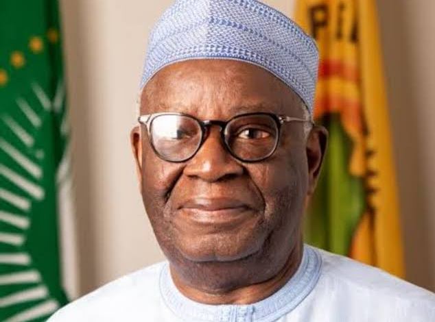
The Surveyor General of the Federation, Abuduganiyu Adebomehin, has called on the state governments to upscale offices of surveying to extra-ministerial status, as infrastructural development could not be achieved without the input of professionals.
Abuduganiyu made the call at the ongoing 58th yearly general meeting of the Nigerian Institution of Surveyors (NIS) in Edo state. He explained that the surveying profession is known for precision and accuracy, adding, that surveying can accurately determine the positions of points, distances, and angles between them.
“Virtually without surveying, there is nothing one can do. Look at the ground there is surveying; in the sea there is surveying. If you want to see what isn’t visible to the eyes engage in surveying techniques, and when we talk about robots coming to give food from a restaurant is surveying because that is precision.”
Earlier, NIS President, Dr Matthew Ibitoye, stated that one of the factors impeding the speedy development of any nation is the inability to identify the nation’s resources.
He observed this can be addressed through a comprehensive mapping programme that has yet to receive the attention it deserves from the government, asserting that the best-developed countries are well-mapped countries.
Ibitoye said the government must prioritise this issue, as it is fundamental to solving environmental and related problems in the country. “The significance of surveying in any meaningful development recorded in all sectors of our country’s economy cannot be overstated.”
According to him, “Surveyors are the custodians of accurate geospatial information, and the country cannot afford to overlook the importance of accurate, accessible, and up-to-date spatial data for national development and governance.”
“We call on the governments to declare a state of emergency on mapping at small and medium scales in an effort to reposition Nigeria as a prime global investment destination.”
NIS president added this will help in the mobilisation of resources and prioritisation efforts to systematically update and expand mapping coverage; ensuring accurate spatial data is available for planning, decision-making.

 4 months ago
31


 English (US) ·